Public Heath Care System in Poladpur, Raigad District


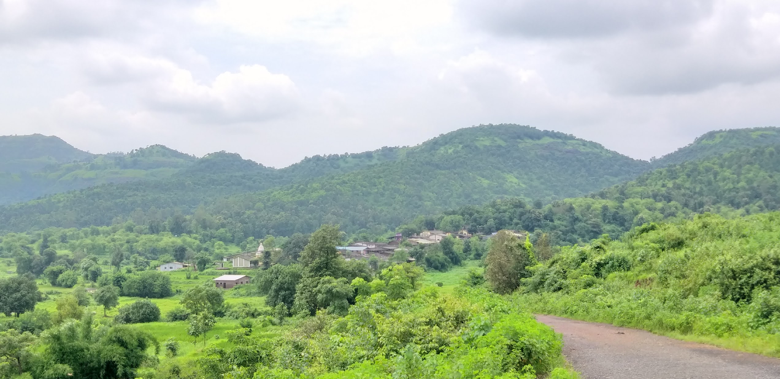
Poladpur is southern block of Raigad district. This taluka is sharing borders with other districts. it has mountaion terrain which makes difficult access to taluka headquarter as well other part of the district.

Urban population are residing on in Paladpur. Many of people like to reside in villages. Agriculture is the main source of livelihood. 

Here we know health care system in Poladpur taluka. It has only Rural Hospital and two PHCs which are set up at different locations. It caters around 45 thousands population.


Here is the list of health care systems in Poladpur taluka.

A) Rural Hospital at Poladpur (see on map)


B) Primary Health Center at Pitalwadi (see on map)

C) Primary Health Center at Palchil (see on map)


Primary Health Sub- Centers in Paladpur Taluka.

  • Kudpan bk
  • Paithan
  • Dhamandevi
  • Kapade
  • Sakhar
  • Umarath
  • Turbhe


Public Heath Care System in Mhasala, Raigad District

Mhasala is southern block of Raigad district. It is situated between Mangaon and Shrivardhan talukas. It is  connected with state highway no. 97 and 99. its economically not well developed as compared to other blocks. Agriculture is main source of livelihood of people. It has mountain terrain, rivers and Creek therefore people get poor access to mainland. 

There are only three PHCs which catering to sixty thousands population. 


Here you will know the list of PHCs and Sub centers. If you want see it's geographical locations or want to visit there then just click on link and get help of Google map.


A) Primary Health Center at Khamgaon (see on map)

B) Primary Health Center at Mhasala (see on map)

C) Primary Health Center at Mendadi (see on map)


Primary Health Sub- Centers in Mhasala Taluka.

  • Ambet
  • Khamgaon
  • Wave
  • Talwade
  • Nevarul
  • Jambhul
  • Kharsai
  • Mendadi
  • Waral

Public Heath Care System in Mangaon, Raigad District


In this blog, we will know public health care system in Mangaon taluka. Mangaon is very important block in South Raigad. it is well connected to National highways and state highways including rural roads. Mangaon town is a headquarter of this block which is developing very fast. and in the race of district headquarter for newly proposed district. Its population are residing in towns like Mangaon, Nijampur, Indapur and Lonere as well in villages too.


It has good health care system which is Sub District Hospital and six PHCs set up at different locations in taluka to cater around 1.60 lakh population.


Here is the list of health care systems in Mangaon taluka. 


A) Sub District Hospital at Mangaon town. (see on map)


B) Primary Health Center at Nijampur (see on map)

C) Primary Health Center at Goregaon (see on map)

D) Primary Health Center at Indapur (see on map)

E) Primary Health Center at Sai (see on map)

F) Primary Health Center at Nandavi (see on map)

G) Primary Health Center at Shirwali (see on map)


Primary Health Sub- Centers in Managaon Taluka.

  • Lonere
  • Lakpale
  • Devali
  • Nandavi
  • Goregaon
  • Majgaon
  • Harkol
  • Govele
  • Manjarvane
  • Paneli-Dongroli
  • Morba
  • Panhali-Vibhule 
  • Amdoshi
  • Mangaon
  • Gangavali-Khandad 
  • Kharvali
  • Palasgaon
  • Tamhane
  • Gangavali
  • Borwadi
  • Wighawali
  • Indapur 2
  • Nigudshat
  • Mahagaon
  • Pansai
  • Ratwad
  • Koste
  • Patnus
  • Bhagad
  • Kandalgaon kh
  • Kadape

Public Heath Care System in Mahad, Raigad District


Mahad is located at southern of Raigad District, Mahad Taluka has many historical sites which always attract to tourist. Mahad town is headquarter of Taluka. It is connected with National Highway no. 66 with Mumbai and Goa. As well most of state highway passes from Mahad. It is connected with neighboring district Pune, Satara and Ratnagiri.


Mahad is a historic place of Raigad district. The name of 'Raigad' District came from Raigad fort. it is iconic Capital of 'Swarajya'. Mahad was center for post independent movement in leadership of Babasaheb Ambedkar. 

Mahad Taluka has around 1.80 lakh population which is catered by One Rural Hospital and Six PHCs. 


The Heath system of Mahad Taluka is listed below., You do visit geographical location by clicking on link to Google map.


A)Rural Hospital at Mahad town (see on map)


B) Primary Health Center at Birwadi (see on map)

C) Primary Health Center at Dasgaon (see on map)

D) Primary Health Center at Chimbhave (see on map)

E) Primary Health Center at Pachad (see on map)

F) Primary Health Center at Warandh (see on map)

G) Primary Health Center at Vinhere (see on map)


Primary Health Sub- Centers in Mahad Taluka.

  • Tamhane
  • Nagaon
  • Mumurshi
  • Uppar Tudil
  • Chochinde
  • Tol
  • Achaloli
  • Nate
  • Nigade
  • Bhave
  • Kumbheshivathar
  • Kambale (Mahad)
  • Rajewadi 
  • Kambale (Birwadi)
  • Sheltoli 
  • Dahiwad 
  • Walan bk
  • Walan kh
  • Konzar 
  • Mangharun

Public Heath Care System in Uran, Raigad District


Uran is semi urban taluka. Lots of industrial projects are set up . Its fastest growing taluka in northern Raigad. It has around 1.60 lakh population which is being catered by one RH and one PHC. 


A) Rural Hospital at Uran (see on map)


B) Primary Health Center at Koproli (see on map)


All Primary Health Sub-Centers in Uran

  • Chirner
  • Vindhane
  • Navghar
  • Chanje
  • Jasai
  • Jaskhar
  • Veshvi
  • Gharapuri


Public Heath Care System in Alibag, Raigad District


Alibag is a taluka of Raigad District of Maharashtra state. It is the headquarter of Raigad district. All major government offices are located here. Alibag taluka is famous for many beaches like Varosoli, Alibag, Kihim, Nagaon, Revadanda. It has historical forts like Kulaba, Revdanda, Khanderi, Underi and  Sagargad. Alibag is connected with state highways as well Mandava and Revas are major jetty to connect with Mumbai and Navi Mumbai. 

Agricultural, Fishing, Tourism are main source of livelihood. Mango, white onion and watermelon and many more famous product from agriculture in Alibag.

It is most famous tourist place in Raigad district, many people are visiting here to enjoy beaches, forts as well sea food. 

Public Health Care system is quite important for people who likely to visit in Alibag as well residing people. It has District hospital to serve all civilian of the district. It has around two lakh above population which is catered by District Hospital and five PHCs.


Here is the list of Public Health Care system in Alibag Taluka . You can see Google map location by clicking on link. 


A) District Hospital at Alibag town. (see on map)


B) Primary Health Center at Chikhali (see on map)

C) Primary Health Center at Revdanda (see on map)

D) Primary Health Center at Poynad (see on map)

E) Primary Health Center at Pedhambe  (see on map)

F) Primary Health Center at Dhokavade (see on map)


All Primary Health Sub-Centers in Alibag.
  • Parhurpada
  • Waghai
  • Ramraj
  • Chinchoti
  • Vave
  • Khanav
  • Nagaon
  • Shrigaon
  • Tadwagale
  • Bamangaon
  • Kurul
  • Shahabaj
  • Vaghode
  • Khandale
  • Shahapur
  • Waghran
  • Pedhambe
  • Mandavkhar
  • Mapgaon
  • Bhal
  • Gunjis
  • Navgaon
  • Zirad
  • Kawade
  • Saral
  • Koproli
  • Saswane
  • Mani-Bhute.

Public Heath Care System in Panvel, Raigad District


Panvel is northern taluka of Raigad district. It's located on entrance of Navi Mumbai and Mumbai metropolitan cities. It's well connected with port, Highways, and rail network as well future airport too. 


Panvel is rapid growing city of Raigad. People are keeping their interest to live in panvel. It is now municipal city but lots of geographical area is rural.

There are many private hospitals catering to people not only Panvel but for all taluka of Raigad District. 


It has public heath care service with one Rural Hospital and five Primary Health Centers Which are catering around seven lakh above population.


A) Rural Hospital at Panvel  (see on map)


B) Primary Health Center at Wawanje (see on map)

C) Primary Health Center at Nere (see on map)

D) Primary Health Center at Apte (see on map)

E) Primary Health Center at Ajiwali (see on map)

F) Primary Health Center at Gavhan  (see on map)


All Primary Health Sub - Centers in Panvel. 


  • Kelavane
  • Sai
  • Apata
  • Kalhe
  • Gulsunde
  • Vaveghar
  • Shirdhon
  • Poyanje
  • Ajiwali
  • Kon
  • Kolkhe
  • Kalundre
  • Vadghar
  • Dapoli
  • Vahal
  • Gavhan
  • Nhava
  • Owale
  • Palekhurd
  • Nere
  • Vaje
  • Dhamani
  • Ritghar
  • Morbe
  • Wawanje
  • Valap
  • Majakur
  • Kharghar.


Public Heath Care System in Tala, Raigad District


Tala is Taluka of Raigad  district which is located at southern of Raigad district. It's headquarter is Tala. Around 40 thousand population residing in 63 revenue villages. 


There is very limited health system available compare to other  Talukas.

One and only Primary health center and Five sub centers available.


A) Primary Health Center at Tala (see on map)


  1. Sub Center at Bhanang
  2. Sub Center at Talegaon 
  3. Sub Center at Pitsai 
  4. Sub center at Rowala 
  5. Sub Center at Mandad 


Public Heath Care System in Shahapur, Thane District


Shahapur  taluka is in eastern part of Thane district. There are towns like Vashind, Asangaon, Kasara and Shahapur. It is rural taluka. People are situated around 50 km away from taluka headquarter. It is very important place on National Highway no. 160. It's well connected by rail and road transport. There are many mountain ranges, water dams and agricultural field. People has livelihood source on agriculture and local industries.

There are Sub District Hospital at Shahapur town and Rural Hospital in Khardi. Primary Health Centers are set up at different zones of taluka which cater to around three lakh population.


A) Sub District Hospital in shahapur town  (see on Map)

B) Rural Hospital in Khardi  (see on Map)


C) Primary Health Center in  Kasara (see on Map)

D) Primary Health Center in Aghai  (see on Map)

E) Primary Health Center in Shendrun  (see on Map)

F) Primary Health Center in Shenve (see on Map)

G) Primary Health Center in Kinhwali  (see on Map)

H) Primary Health Center in Dolkhamb  (see on Map)

I) Primary Health Center in Takipathar  (see on Map)

J) Primary Health Center in Tembha  (see on Map)

K) Primary Health Center in Vashind  (see on Map)


All Primary Health Sub-Centers in Shahapur

  • Ambarje
  • Shere
  • Walshet
  • Asangaon
  • Awale
  • Gunde
  • Hiv
  • Vihigaon 
  • Mokhavane 
  • Vassals 
  • Shirol
  • Dahigaon
  • Dolkhamb
  • Tembha 
  • Sakadbav
  • Dhasai
  • Dhamani
  • Ratandhale
  • Birwadi
  • Nandgaon
  • Vehlonde
  • Sakharoli
  • Atgaon
  • Saralambhe
  • Aghai
  • Sane
  • Taharpur
  • Piwali
  • Kambere
  • Borsheti
  • Shahapur 3
  • Dehane
  • Chonde
  • Sapgaon 
  • Lenad
  • Shirgaon
  • Dahiwali
  • Alyani
  • Asnoli
  • Mugaon
  • Shenava
  • Malegaon
  • Lavale
  • Kanave
  • Vehloli
  • Nandgaon
  • Sogaon
  • Tembhuli
  • Kharade


Public Heath Care System in Karjat, Raigad District.

Karjat is located near Mumbai in Northern of Raigad district. In this block, people are situated furthest around 40 to 45 kilometers from Taluka place. The health care system is very crucial while terrain is surrounded with mountains and rivers. All available health care system are very crucial for tribes and poor.

There is one Sub District Hospital and One Rural Hospital set up at different locations. And six primary health center are set up at different zones of Taluka. As well  Matheran Municipal Council's BJ hospital is serving in Matheran town. 


Here is the list of all health care systems in Karjat Taluka.

A) Sub District Hospital in Karjat Town (see on Map)

B) Rural Hospital in Kashele (see on Map)


C) Primary Health Center in Khandas (see on Map)

D) Primary Health Center in Kalamb (see on Map)

E) Primary Health Center in Neral (see on Map)

F) Primary Health Center in Ambiwali (see on Map)

G) Primary Health Center in Kadav (see on Map)

H) Primary Health Center in  Mohili (see on Map)

I) B J Hospital in Matheran (see on Map)


All Primary Health Sub-Centers in Karjat.
  • Mulgaon
  • Kondiwade
  • Khandpe
  • Beed bk 
  • Gaurkamat 
  • Vaijnath 
  • Barne
  • Tambas
  • Bhaliwadi
  • Kadav
  • Posari
  • Kirwali
  • Bekare
  • Ambiwali 
  • Pinglas
  • Shilar
  • Pathraj 
  • Sugave
  • Kashele
  • Anjap
  • Vakas
  • Pimploli
  • Chaudharwali 
  • Neral 1
  • Poshir
  • Kodiwale
  • Shelu
  • Maniwali
  • Pashane
  • Nandgaon
  • Baliware
  • Chafewadi
  • Chai
  • Olman
  • Borgaon